🇨🇵 Géospatial
By Vincent Picavet @[email protected]Comptes Français et/ou francophones sur les systèmes d'information géographiques (SIG), le géospatial, les données géographiques et la cartographie.. Mentionnez #GeospatialFR sur Mastodon si vous voulez être ajouté, ou avez des suggestions. Votre compte doit être "découvrable" ( dans les paramètres mastodon ).


CNES
@[email protected]L'actu du CNES, le Centre National d'Études Spatiales.

Christian Quest 🌍
@[email protected]📸🏞️ 🗺 J'aime cuisiner, surtout la #datatouille et pratique aussi la #datafouille. J'essaye de ne pas être trop sage ni sérieux.
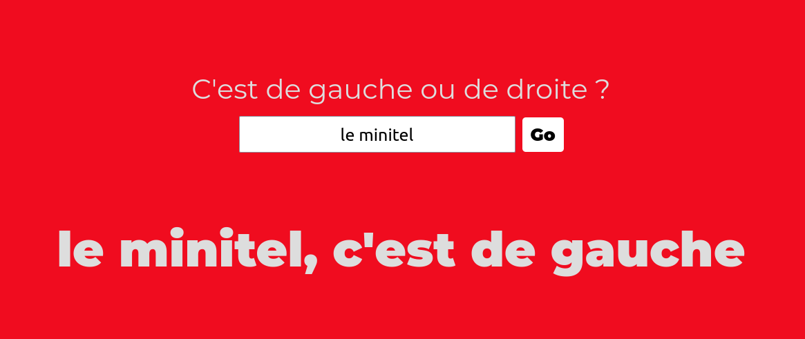
#communs #opendata #openstreetmap #openfoodfacts #opensolarmap #openeventdb #opendatarchives #minitel #panoramax
En ligne depuis... 1984 !

Jeremy ⁂
@[email protected]Geographer & cartographer, PhD candidate in digital archaeology, all around sense-of-place aficionado and digital freedom advocate.
Admin at https://mapstodon.space, the Mastodon instance for the map mob.
[ fr — en — es ]


OpenStreetMap 🇫🇷
@[email protected]Compte Officiel #OpenStreetMap #France - asso loi 1901
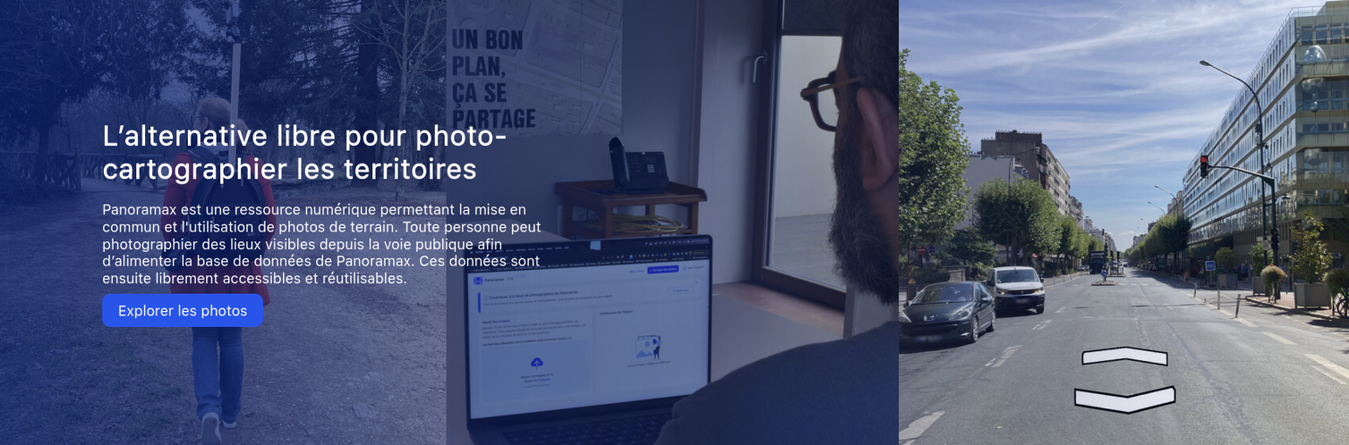

Panoramax
@[email protected]L’alternative libre pour photo-cartographier les territoires

IGN France
@[email protected]L'#IGN accompagne les #PolitiquesPubliques en produisant des #GéoDonnées, des référentiels et outils numériques répondant à tous les besoins et usages #OpenData

Nicolas Lambert 🌏
@[email protected]Front-end cartographer at CNRS

DMONTAGNE
@[email protected]Wikimédienne en résidence à l'URFIST de Paris. Construit des mondes communs avec Wikipédia et OpenStreetMap. Fait des cartes et de la géomagie. Cherche la petite bête 🕷️

Françoise Bahoken
@[email protected]Chercheuse/researcher - Univ. Gustave Eiffel, & ass. UMR geographie-cités. Chargée de cours/Teaching Univ. Panthéon Sorbonne (P1) #géographie #méthodes #cartographie #geovizualisation #migrations #spatialdata #flowmap #afropéenne


Vincent Picavet
@[email protected]CEO @ Oslandia - engineering open geo stuff 🌍
#OpenSource #GIS #FOSS4G #OSGeo #QGIS #PostGIS #OpenOrganization #DistributedCompany #FullRemoteWork

Régis Haubourg
@[email protected]open geo geek. QGIS PSC member and OSGEO charter member.
Mapped rivers, lakes, soils, water networks, and now buildings as an engineer in environmental sciences, and became a PostgreSQL DBA and QGIS contributor in the end.


Laurent Jégou
@[email protected]Enseignant-chercheur en géomatique, MCF, Université de Toulouse-2 Jean Jaurès
Equiv. assistant-prof, geomatics, Toulouse, France
Intéressé par la cartographie, notamment ses aspects esthétiques.

Geotribu
@[email protected] Site collaboratif sur la géomatique libre et ouverte
Collaborative website on free and open geomatics

JulesGrandin
@[email protected]🌍 Cartographe // Responsable du service infographie au journal Les Echos // Chroniqueur hebdomadaire chez Quotidien // Cartes accidentelles, mais pas que
Tristram Gräbener
@[email protected]Cartographie, données ouvertes, transports, énergie le tout avec quelques biais anarchistes
Parigo pur jus (mais pas français)
Frédéric Cantat 🌍
@[email protected]Référent méthodes d'intelligence collective & Innovation collaborative d'IGN France
Chair of EuroSDR commission 4

Sébastien
@[email protected]activiste public
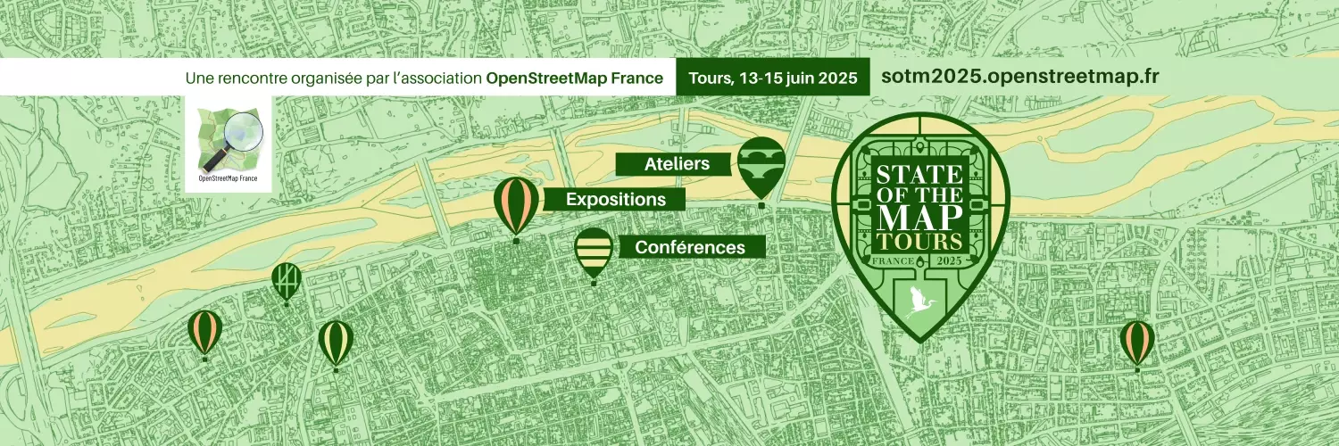
SOTM - France
@[email protected]Conférences et ateliers pour les contributeurs et les utilisateurs d'OpenStreetMap.
Cette année à Tours !

P.-O. Mazagol
@[email protected]Géomatique, Cartes, 3D, patrimoines et paysages engloutis (ou non) / Geomatics, Maps, 3D, sunken (or not) landscape and cultural heritages / (e)Space & Fiction / #EVS / #UJM / #Geonum


Gaëlle Sutton
@[email protected]Cartographe indépendante 🌍
Avec le GEG Nordiques ❄️
Des 🗺️ pour Reporterre, Carto magazine, le Haut conseil pour le climat, la Telescop, la FRS, le GIST, Mayane Labs.
Intérêts marqués pour l'Arctique et l'urgence climatique 🌨️
gremaps
@[email protected]Créateur de cartes du même monde... mais différent. On peut en voir un aperçu ici :
https://gremaps.com
Mais c'est tellement mieux de les voir en vrai.
Cycliste à Grenoble... comme (presque) tout le monde, et voyageur à vélo dès que c'est possible (envelo04.blogspot.com)

GeoJulien
@[email protected]Géomaticien et animateur de @geotribu, mariages et enterrements. Je travaille à @oslandia mais mes messages n'engagent généralement que moi.
Compte pro, je m'efforce quand même de rester neutre.
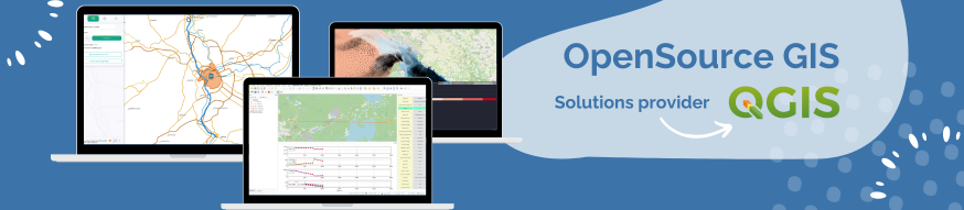

Oslandia
@[email protected]🌍 Oslandia engineers your Geographical Information Systems with industry-grade OpenSource software : #PostGIS, #QGIS, #3D, #Webmapping. We provide the full range of services : consulting, training, development, maintenance, assistance.
And we are a true OpenSource #QGIS editor !
Denis Vannier
@[email protected]Journaliste (data+maps+motion)


Adrien Pavie
@[email protected]Entrepreneur en géomatique & développement logiciel
Passions #SIG #Géomatique #OpenStreetMap #LogicielLibre

Etienne Delay
@[email protected]Chercheur, géographie sociale et informatique, réseau et logiciel libre ... coopération, territoire et modélisation. Rien d'antinomique. ;-)

Hugo Ledoux
@[email protected]3D geoinformation processing. CityJSON. Triangulations. I work at https://social.edu.nl/@tudelft3d. I am an editor at @joss.
odilon
@[email protected]Agnès Stienne
Autrice du livre "Bouts de bois"
https://www.editionsladecouverte.fr/bouts_de_bois-9782355222078
Artiste plasticienne cartographe indépendante
Bricole sur visionscarto.net
Féminisme · Écologie · Social · Anticolonialisme
Antiracisme · Cartographie · Data
instagram agnesstienne


Carto'Cité
@[email protected]

Vincent Sarago
@[email protected]COG Tzar at Developmentseed - Creator of RemotePixel - Bike activist

Thierry Joliveau
@[email protected]Géographe et géomaticien, professeur émérite à l'Université de Saint-Etienne.
Tous sujets Géo/matique-médias-Web, tout ce qui lie spatial, société et numérique.


Emmanuel Belo
@[email protected]Head of Camptocamp's Geospatial Solutions department, with focus on Open Source #GIS software, custom IT solutions, innovation and Agile/DevOps projects.
Talks about GIS & Digital Excellence by Open Source Experts - #QGIS #GeoServer #PostgreSQL
Working in the Open Source ecosystem to contribute to a sustainable digital society.
Father of 2, living in the Swiss alps and outdoorsman.

Denis Vannier
@[email protected]Journaliste qui pose des questions à des bases de données et raconte ses trouvailles dans des cartes. #environnement #urbanisme #politique Publie dans Médiacités, Splann, Discloses, Kometa... #python #qgis #earthengine #mapbox


@Eric.B ©️
@[email protected]Eric B. 🏞️📡📻💻📱⚡️🆓 🔻🐢 φ Ѵ
from scratch.. past, the #future was yesterday.
#Orléans #Loiret #RégionCentreValdeLoire #France
#velotaf #bike #rando
Cartographie #OSM #opendata #GIS #Mapillary #Umap #QGIS #QField
#data #scientist #OSINT
#telco #opticalfiber #fibreoptique #ZAPM #NRO #PMZ #NRA #FttH #THD
#Linux #Ubuntu #network
#Ham callsign: F4AHW

cocarto
@[email protected]cocarto est un outil de saisie collaborative de données structurées et géospatialisées, développé par https://framapiaf.org/@CodeursEnLiberte et disponible librement sur cocarto.com

🦇 thomas 🗺️
@[email protected]Compte chiant sans trop de shitpost (pour ça j’ai un autre compte sur eldritch.cafe)
Écologie et géomatique (il paraît que j’aurais envie de streamer le développement d’un package #Rstats, des heures de fun en perspective!)
Géomaticien (ouaf!) syndiqué
alt photo de profil : mec blanc à bonnet. piercing dans le nez, barbe blanche, sourcils noirs, simili sourire.
alt bannière : régions occitanie et paca en lignes violettes façon unknown pleasures
gounux
@[email protected]Guilhem
GIS dev & trainings
Other stuff as well : music, memes, arts, nonsense...
en, fr + ein bisschen de

adresse.data.gouv.fr
@[email protected]Le compte officiel de la #BaseAdresseNationale et du programme #BasesAdressesLocales.
Par @ignfrance, @ANCTerritoires et la @dinum.
(rediffusion du compte X/twitter)
DoctorWho
@[email protected]openSUSE & Pop!_OS User || Rabbit Lover || GeoGeek || OpenSource Mind || HomeAssistant User


Julien Cabieces
@[email protected]Work @oslandia
SIG C++/Python developer, QGIS (www.qgis.org) contributor, Emacs addict and of course, FOSS advocate

CNIG
@[email protected]Conseil national de l'information géolocalisée
https://cnig.gouv.fr

Geo Arnaud
@[email protected]Tombé dans le chaudron des SIG depuis plusieurs années, j'affectionne tout ce qui touche à l'Open Source, au web mapping et à OpenStreetMap.


Thomas
@[email protected]Formateur / Consultant Géomaticien à IDGEO.
Idgeo SCOP
Géocurieux / Geogeek / GeOpen Source

Frédéric Rodrigo
@[email protected]Néogéographe, web mappeur indépendant. #OpenStreetMap

bertrand
@[email protected]Compte personnel où je suis des gens et des robots parlant de :
- arts
- photographie
- histoire
- géomatique / cartographie & #opensource & #qgis

Yves Jacolin
@[email protected]

Bruno IRATCHET
@[email protected]Amateur de technologies géospatiales (vaste domaine de la géomatique), souvent critique vis-à-vis des démarches techno-centrées. L'un des fondateurs de l'asso qui porte le GeoRezo (2004). Je gagne ma vie entre missions de conseil et ballades dans les forêts.

Arnaud
@[email protected]Géographe, géomaticien, geek et runner. Et on peut trouver un lien dans tout ça !

GeoloicO
@[email protected]Géomaticien de métier avec une appétence pour le développement logiciel et web, mon intérêt pour les SI se porte spécifiquement sur les enjeux de gestion d'Aménagement du Territoire et les problématiques géospatiales.
#Geo{suffixe} # {Prefixe}geo #Enthousiaste